2018
View of The Thumb from along the North Fork of Big Pine Creek.
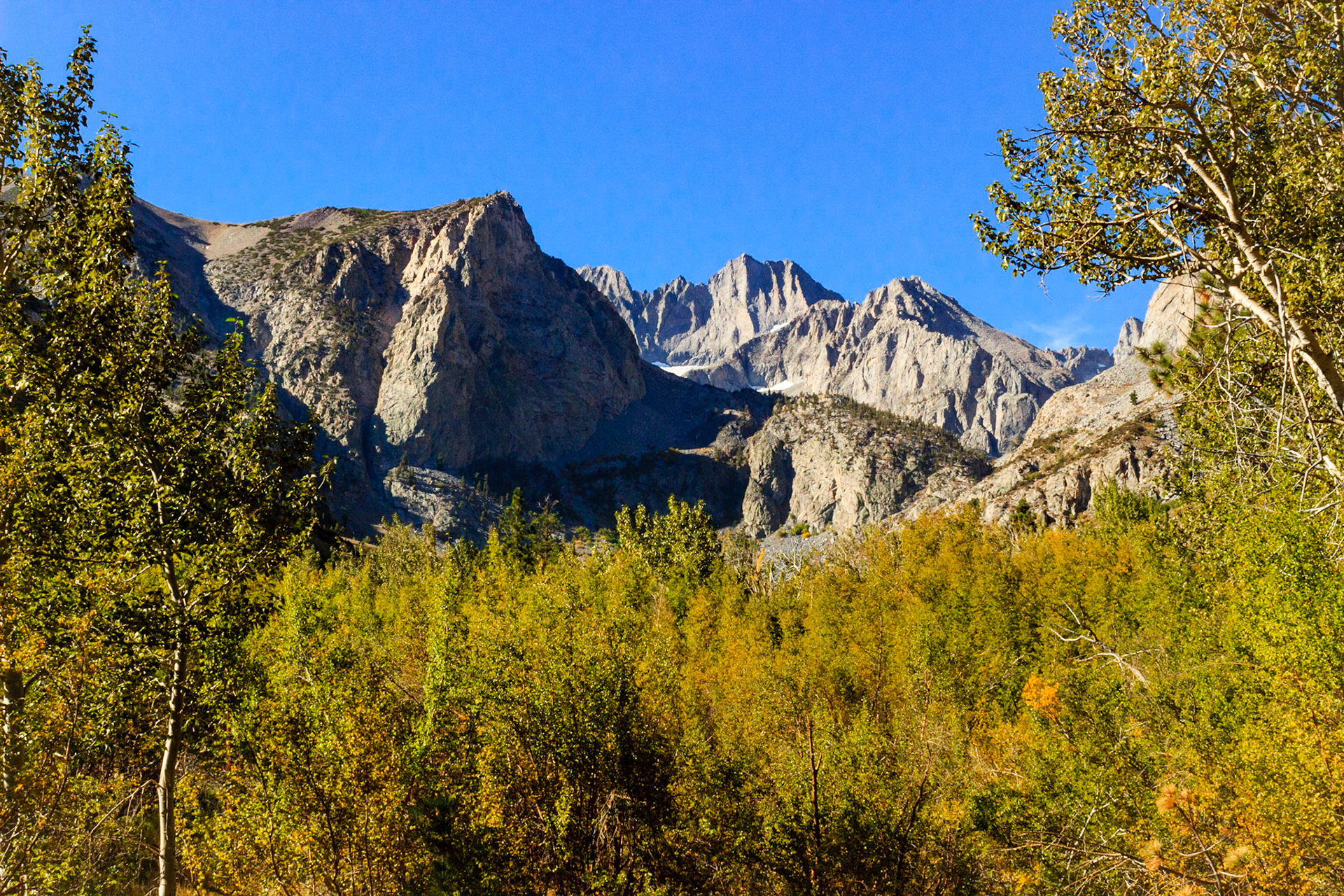
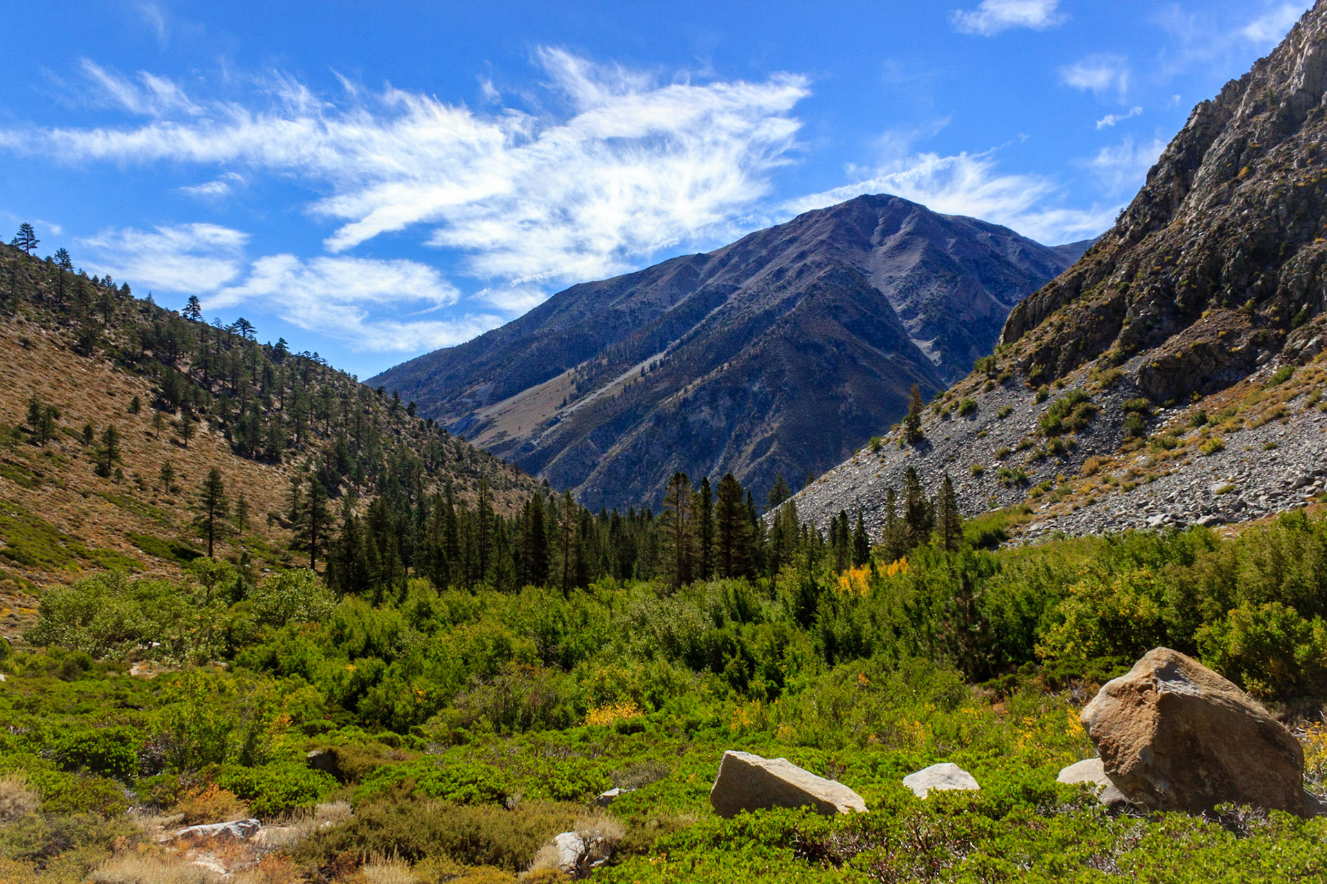
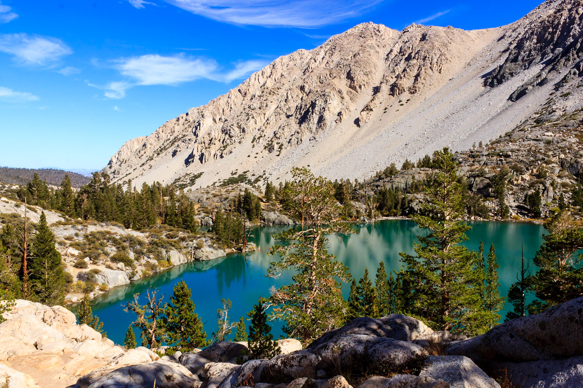
Looking up the South Fork of Big Pine Creek towards Middle Palisade Peak.
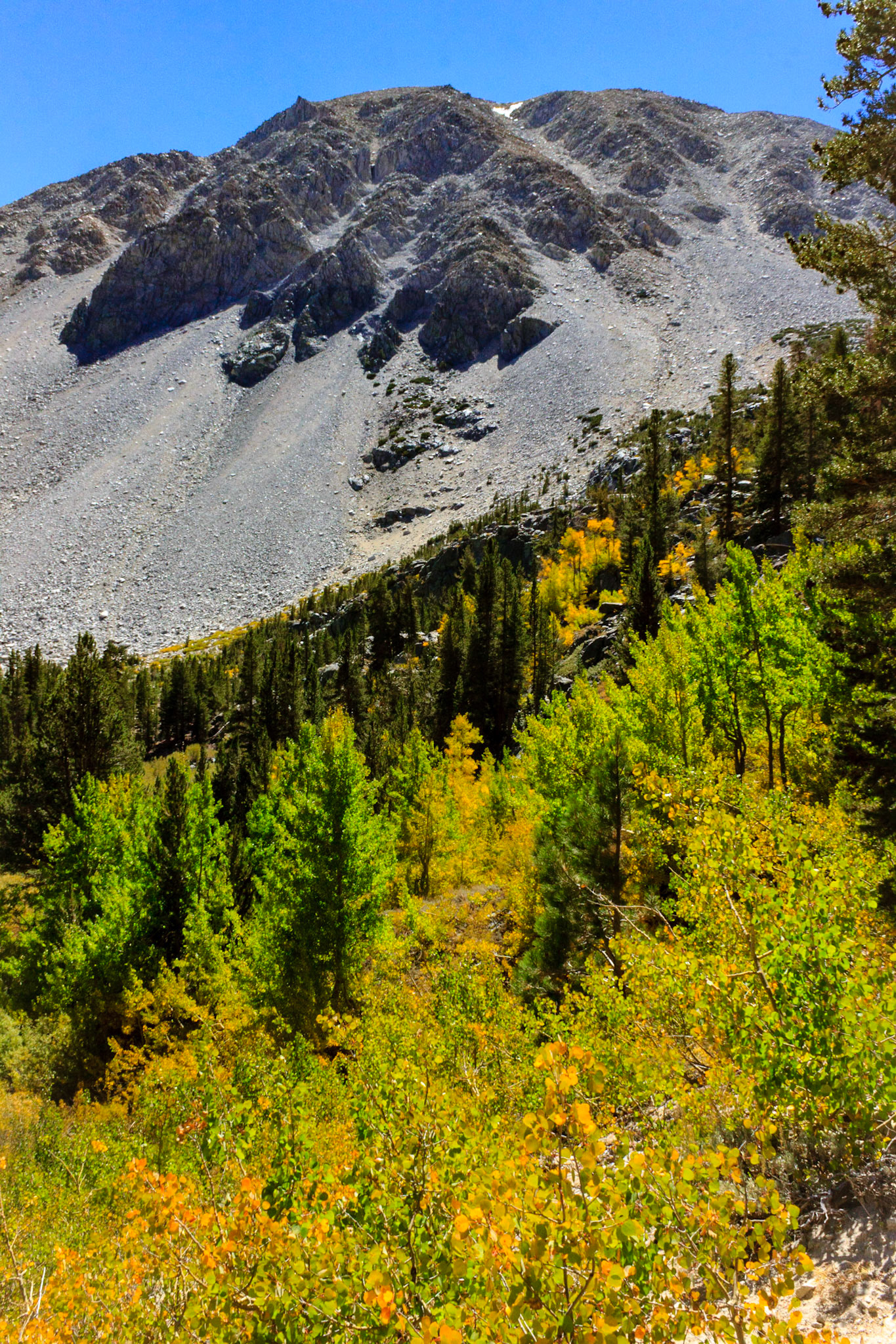
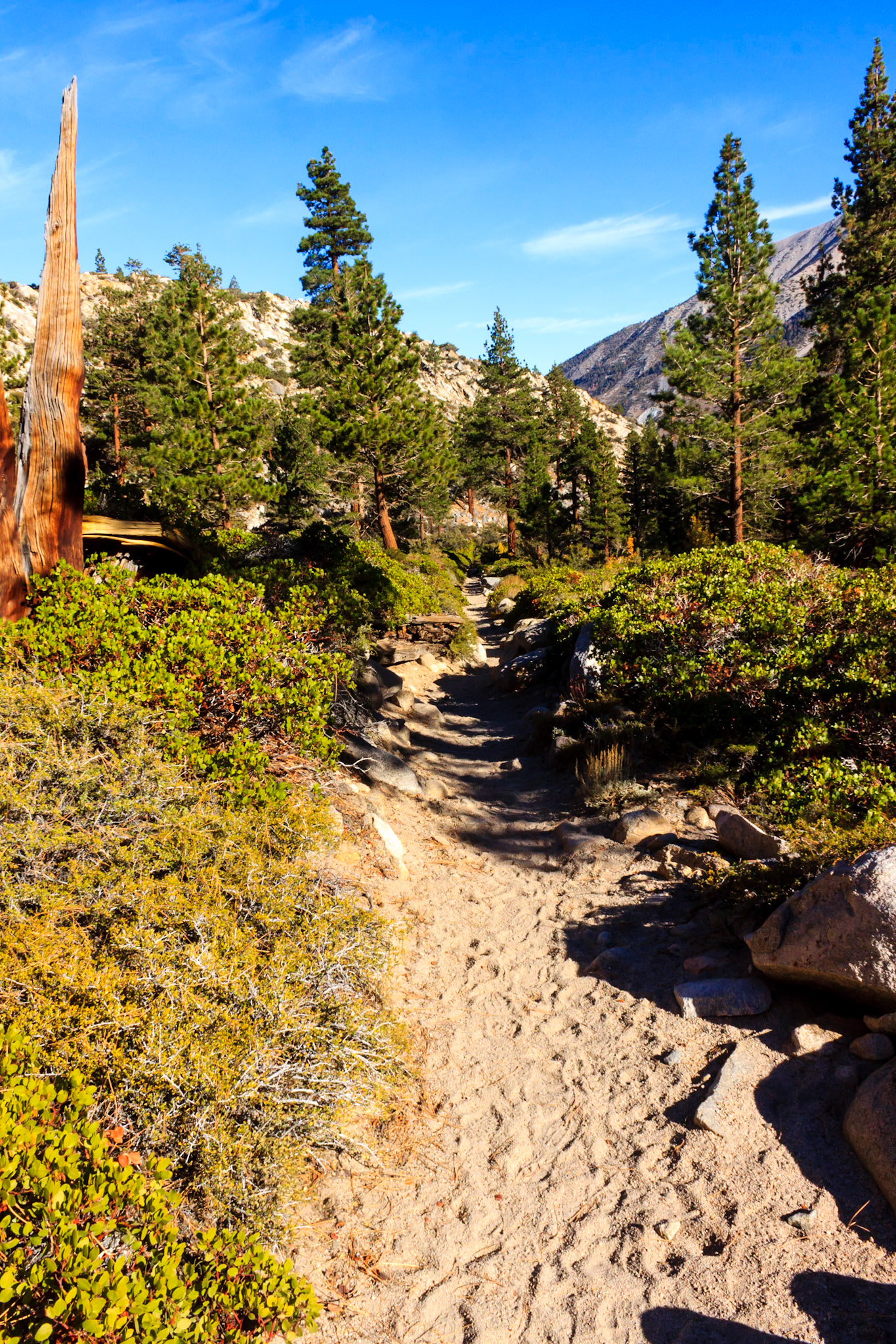
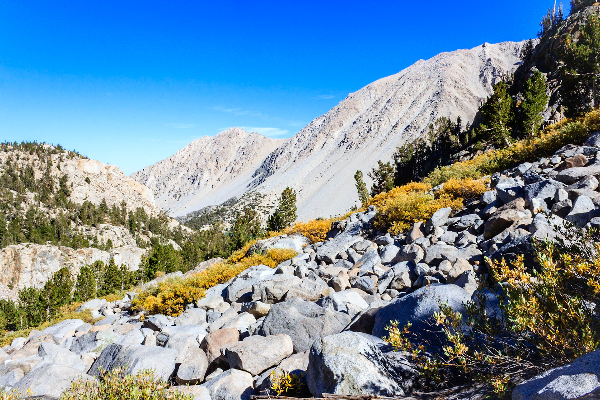
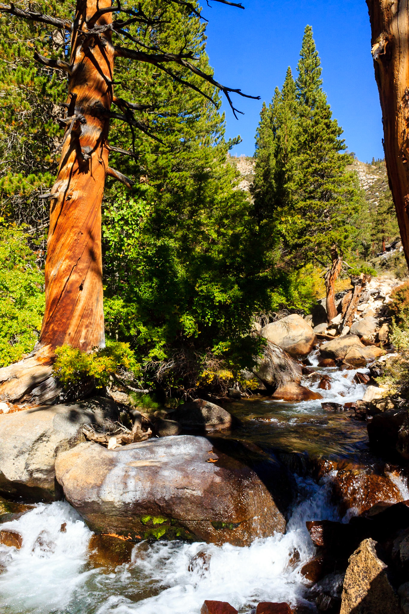
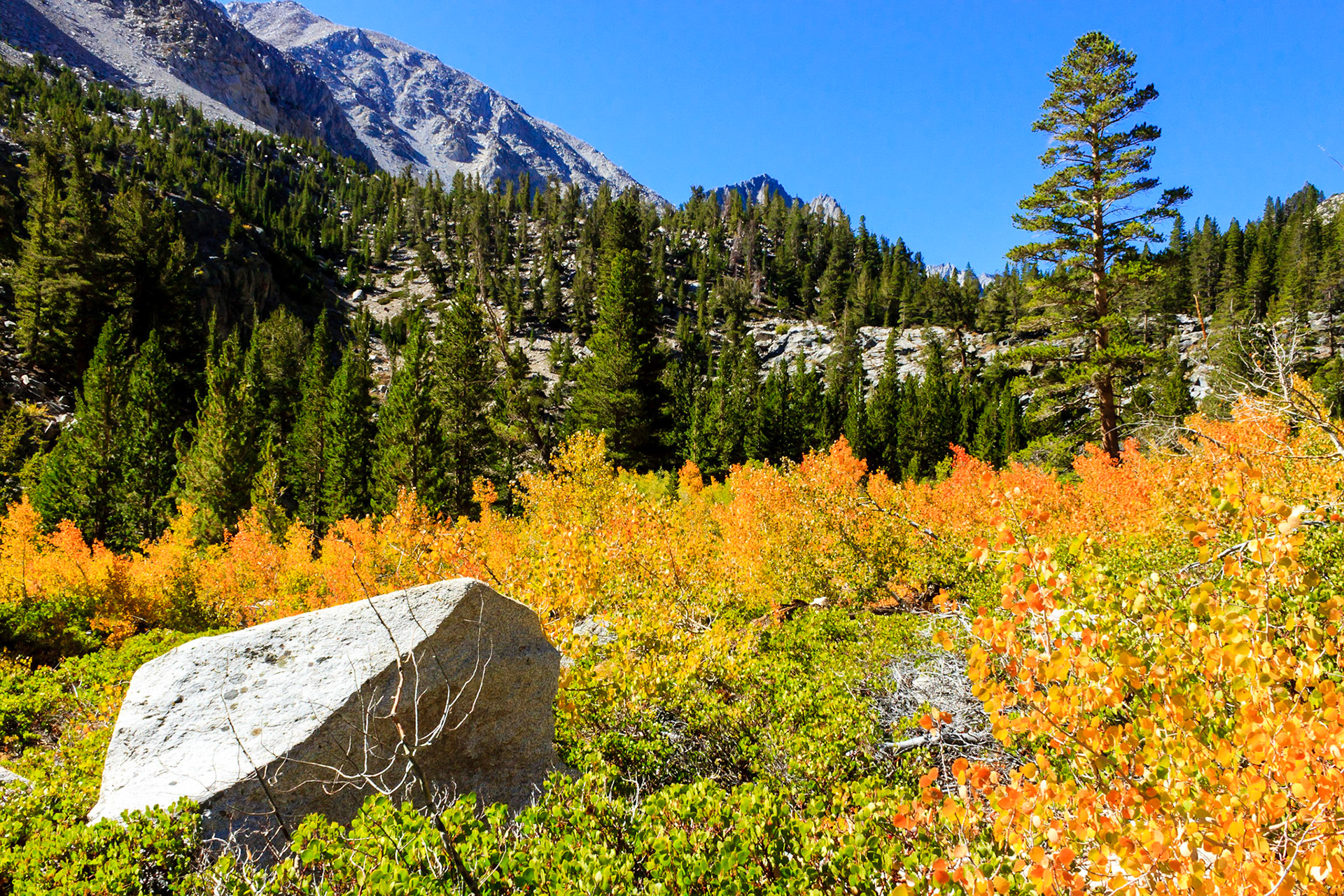
Rockslides along the canyon walls.
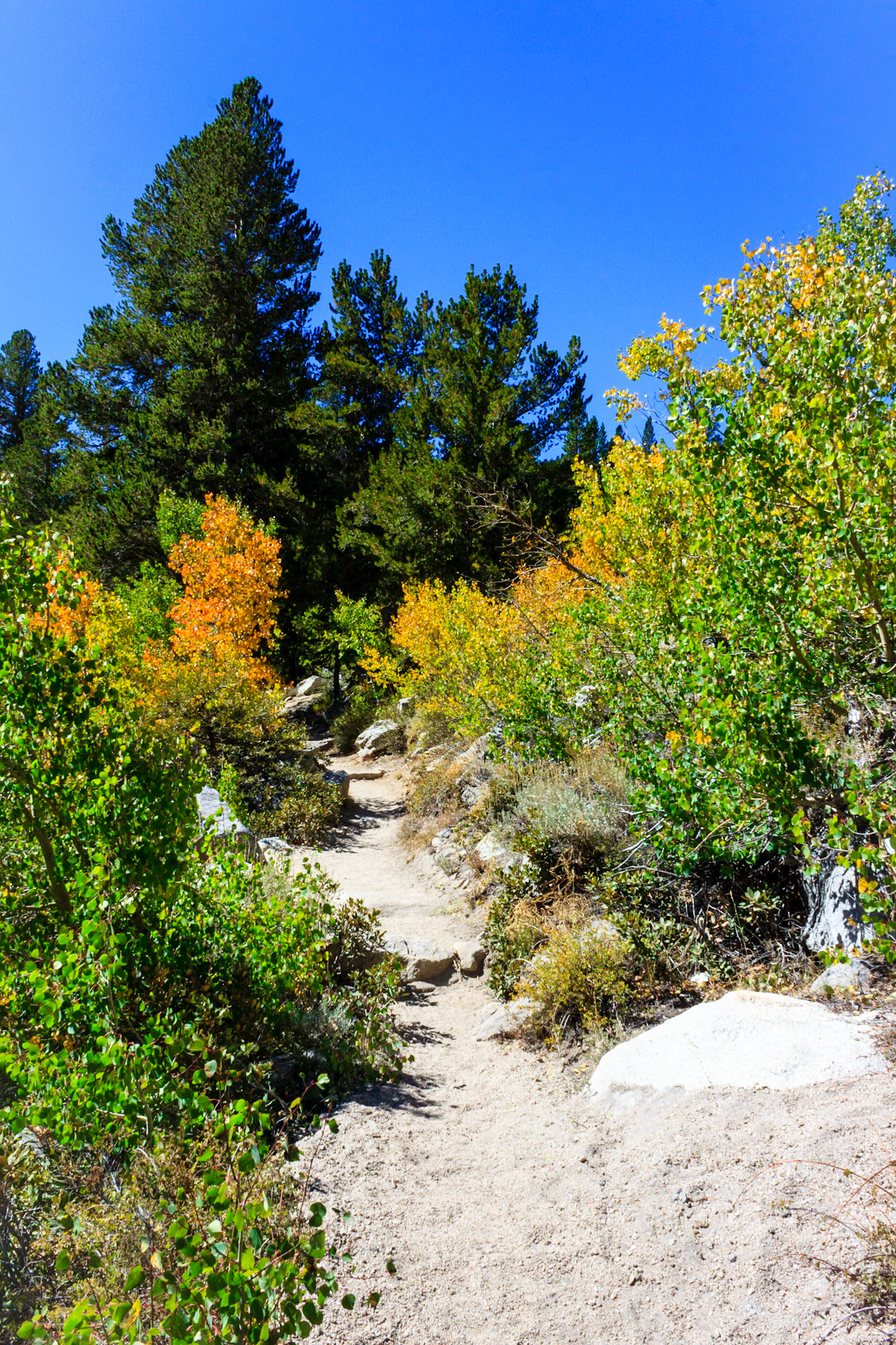
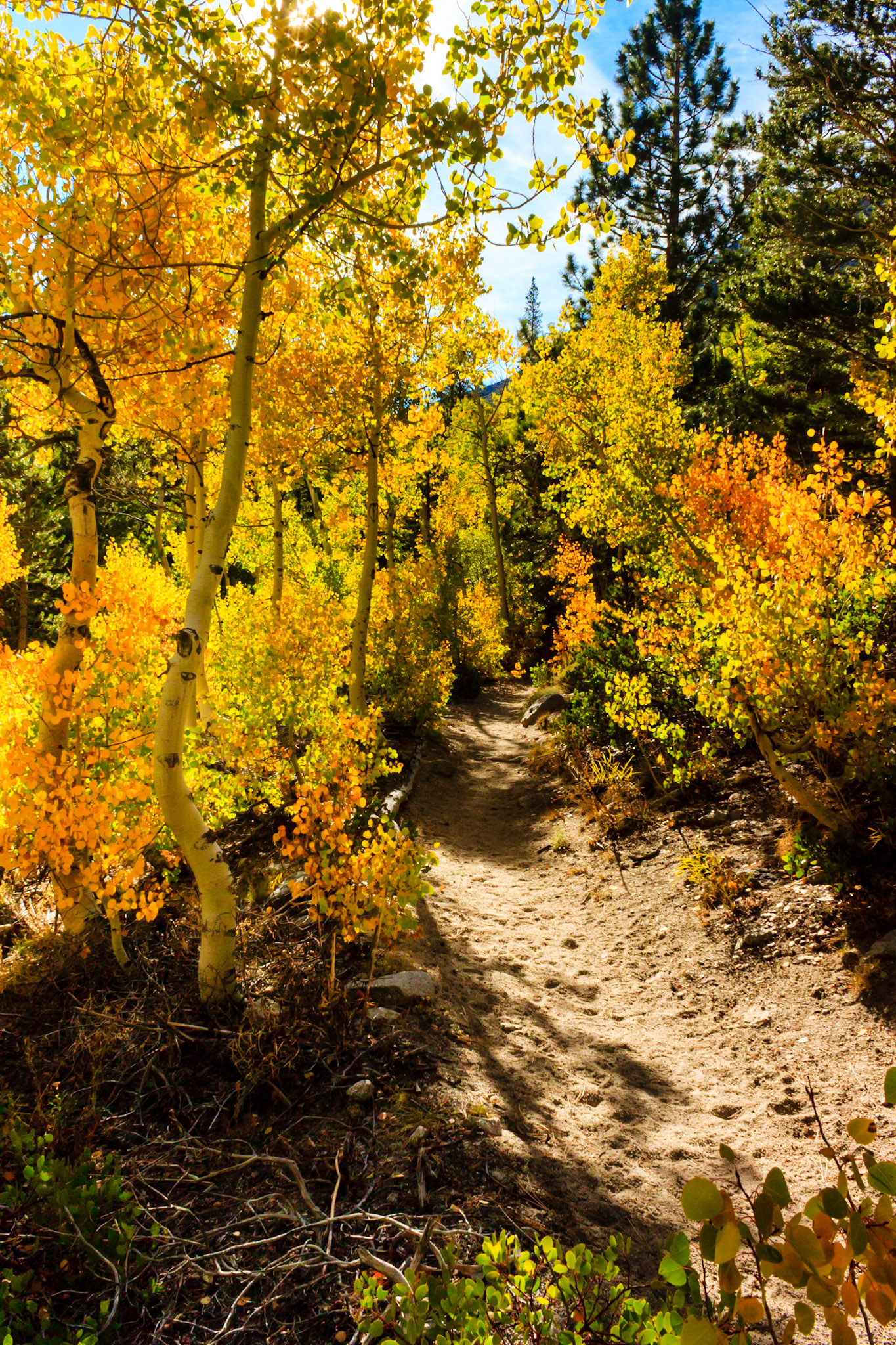
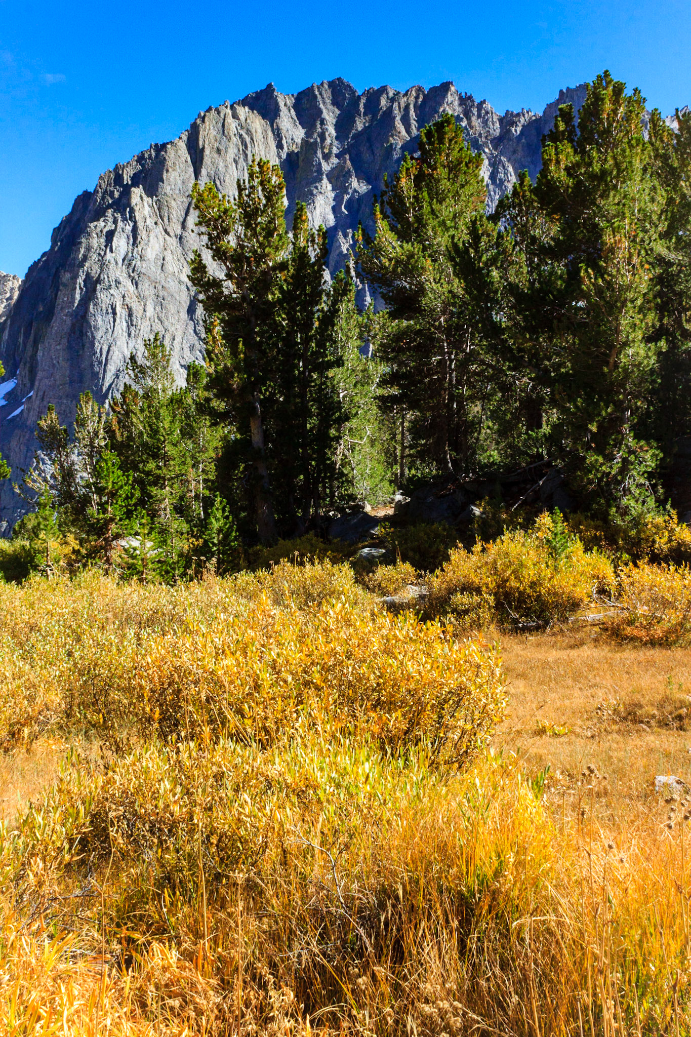
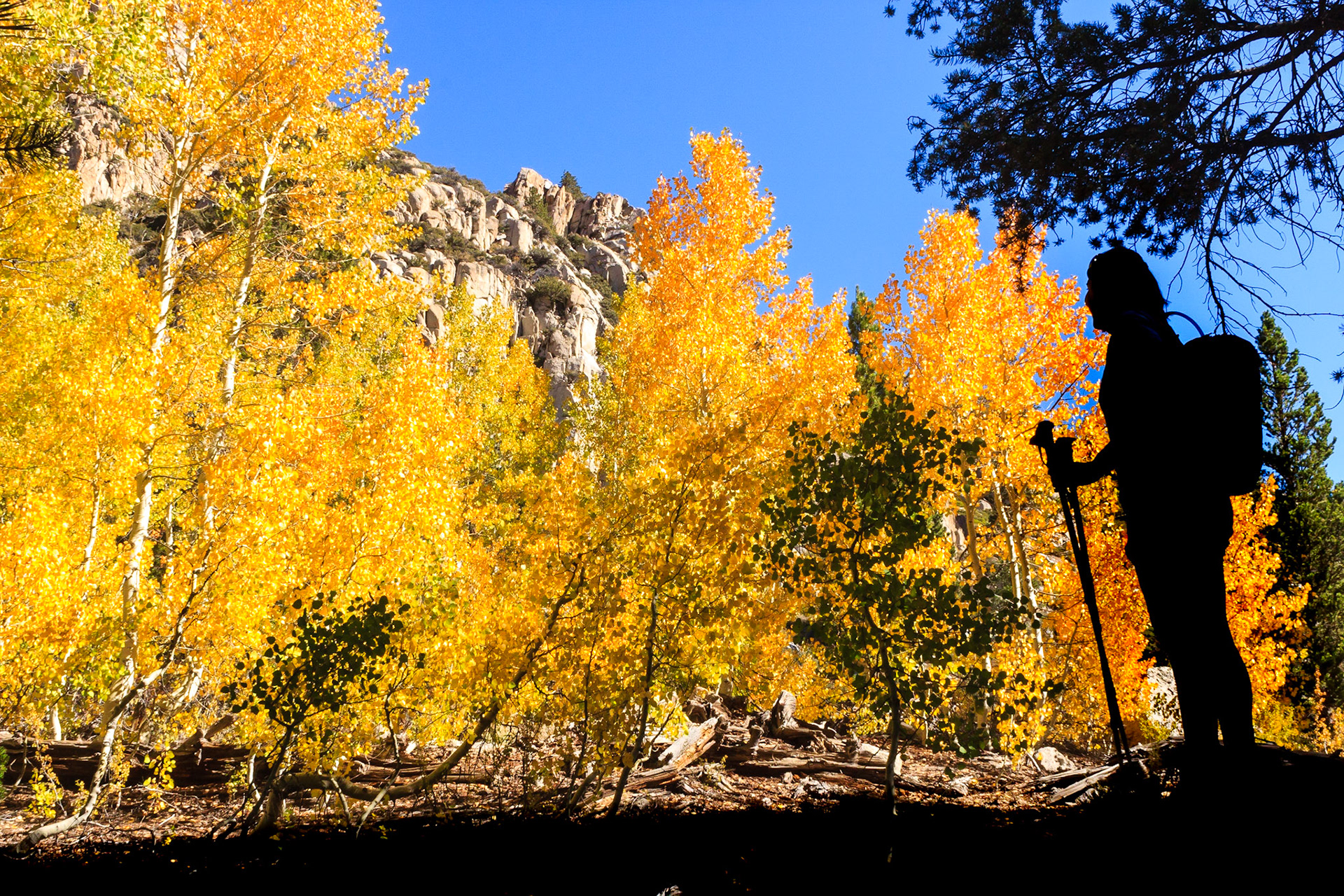
Trail through early Fall foliage.
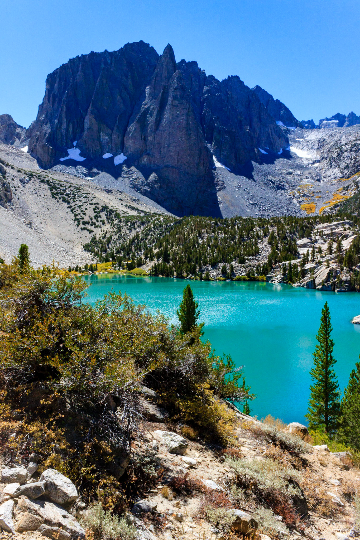
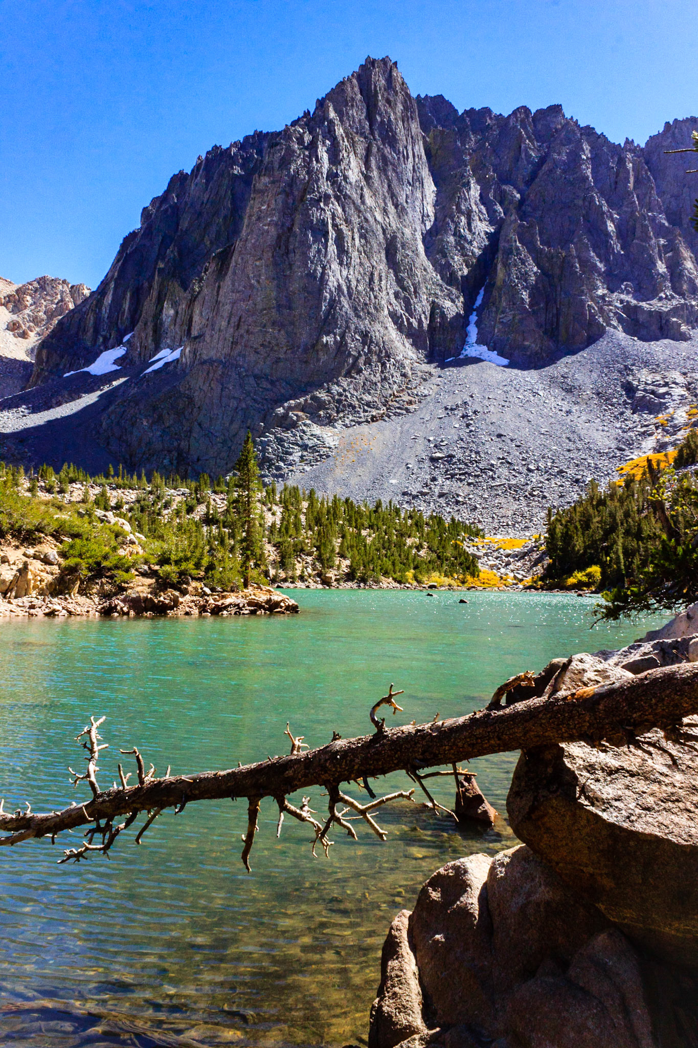
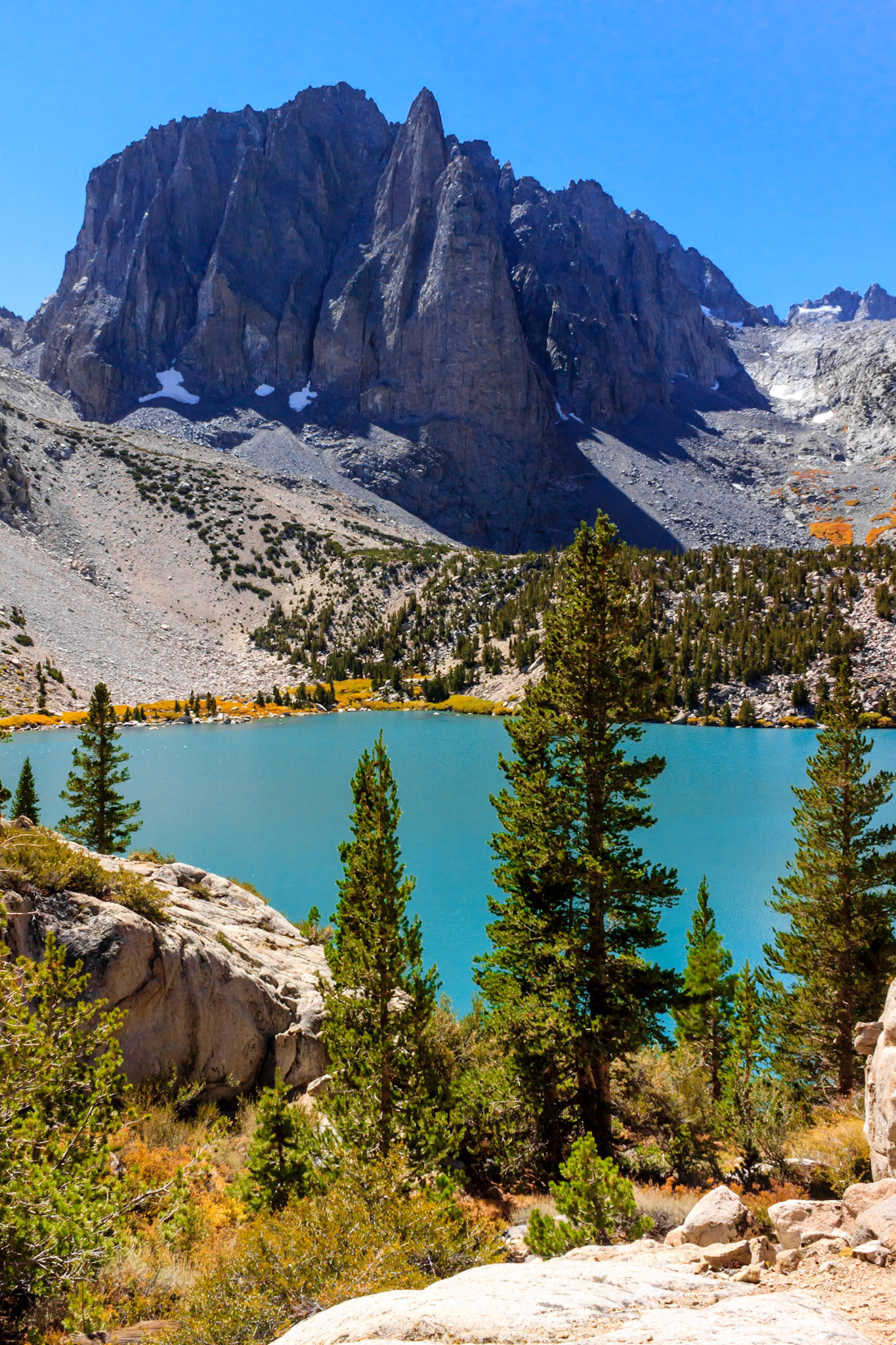
View of Temple Crag across Second Lake. The tips of North Palisade are visible above the ridge on the upper right. We later climbed up that ridge...
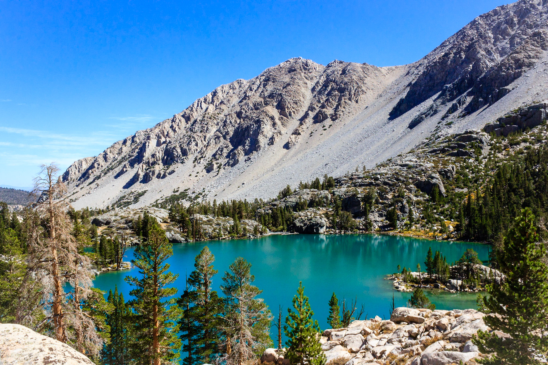
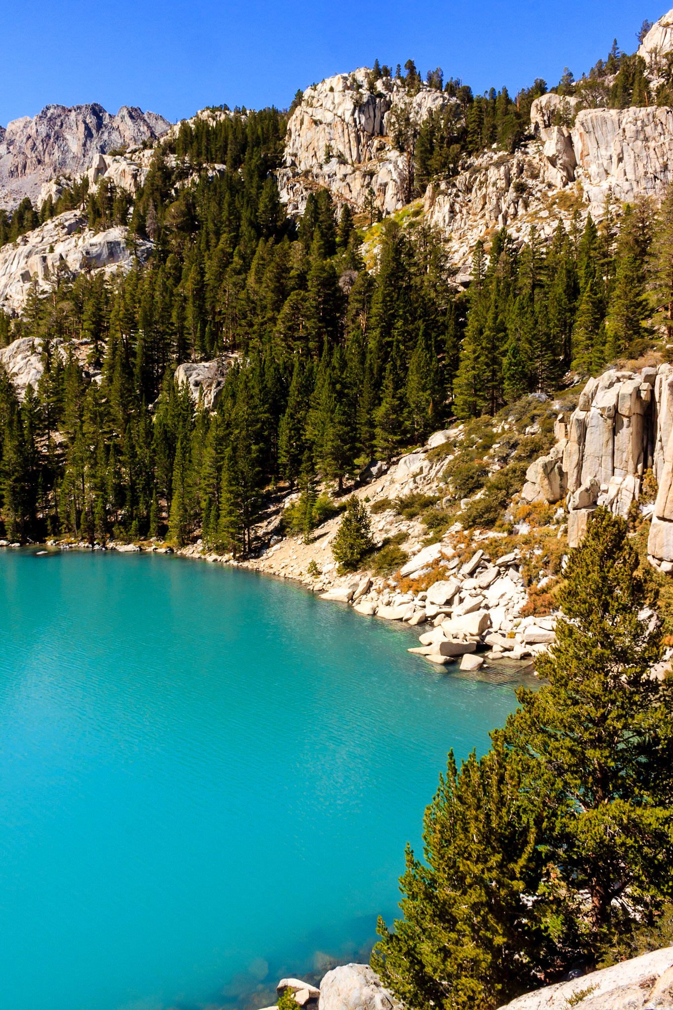
First Lake.
View of Temple Crag across Third Lake.
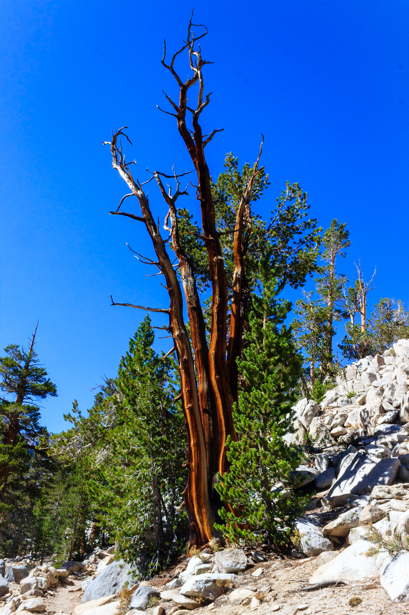
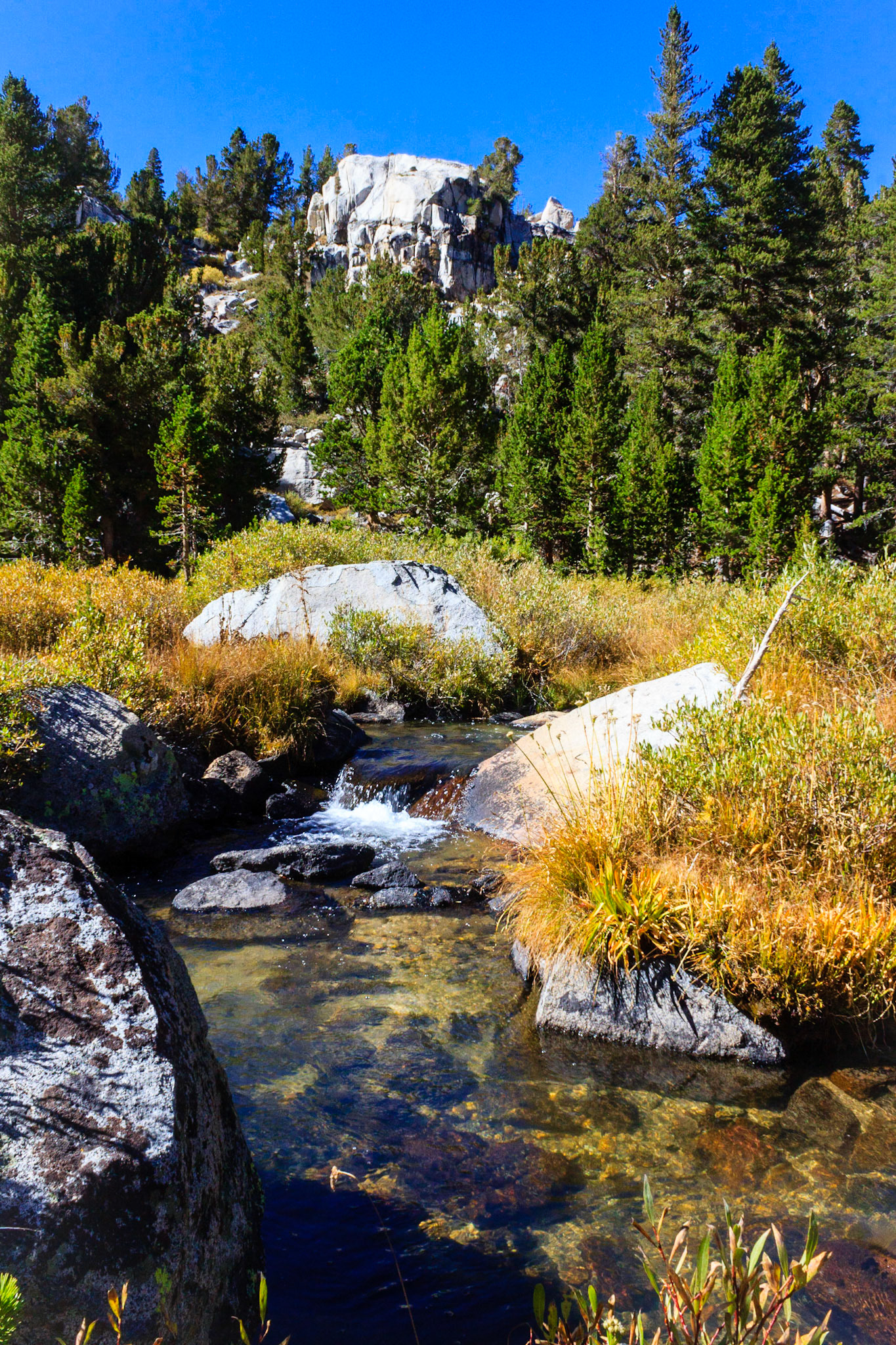
Trees are cool, yo.
Last Temple Crag shot.
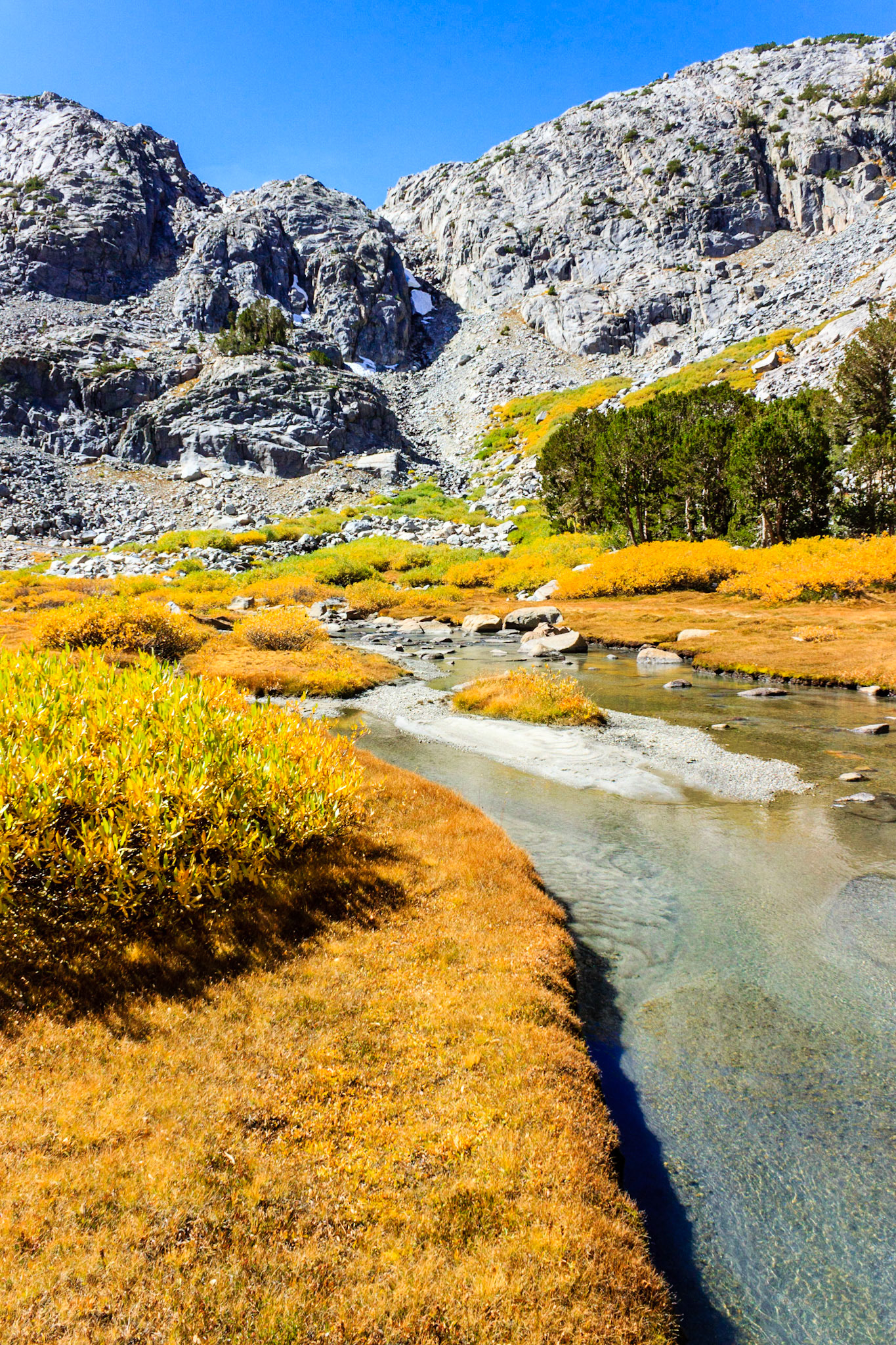
Creek through a meadow above Third Lake.
Climbing the ride in to Sam Mack Meadow.
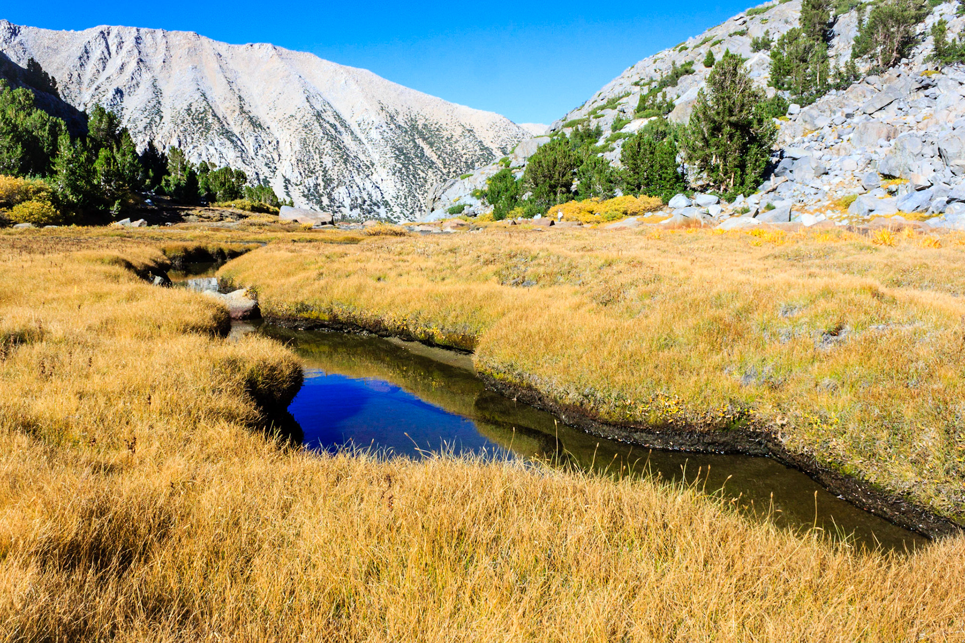
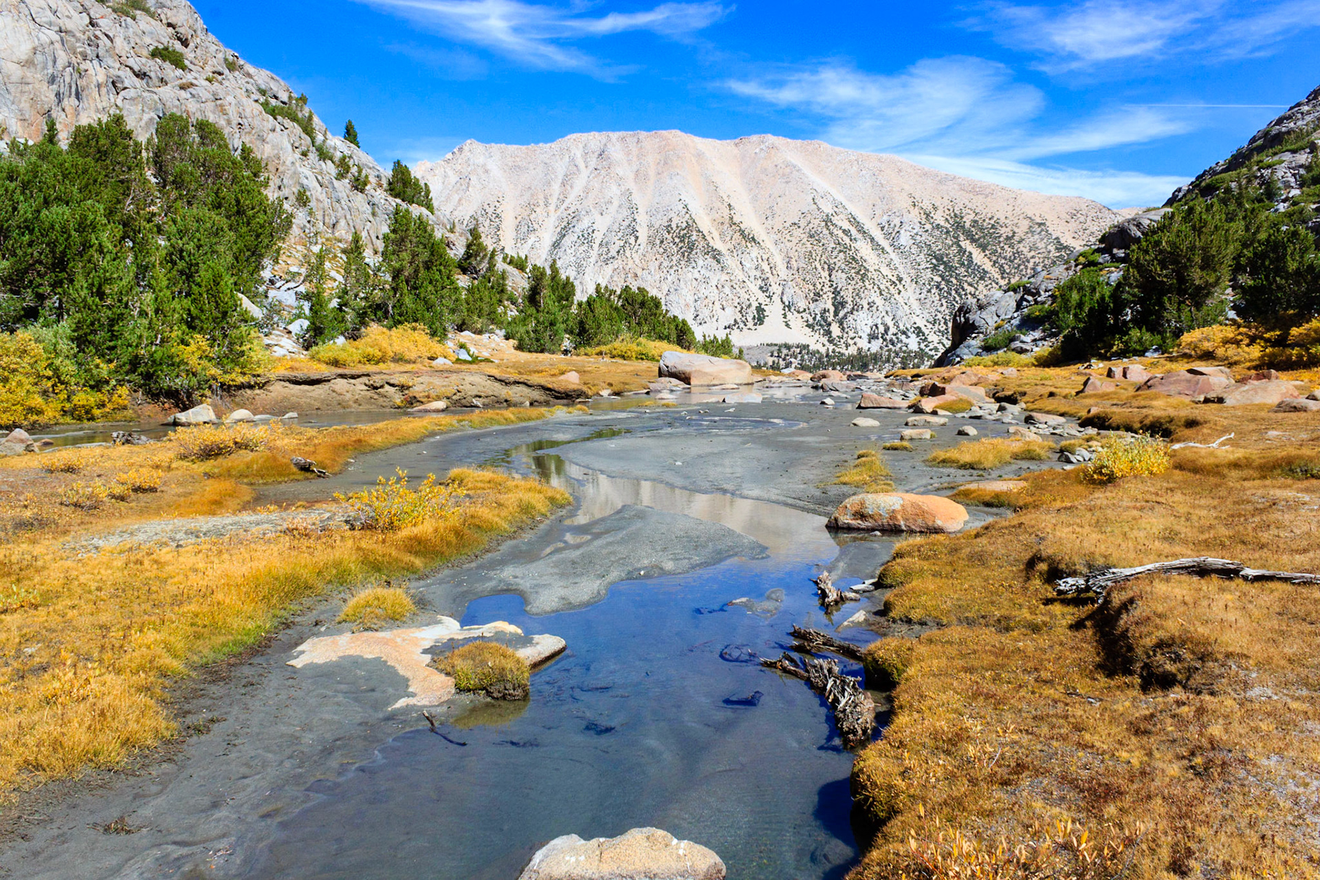
Lots of small streams cut across Sam Mack Meadow.
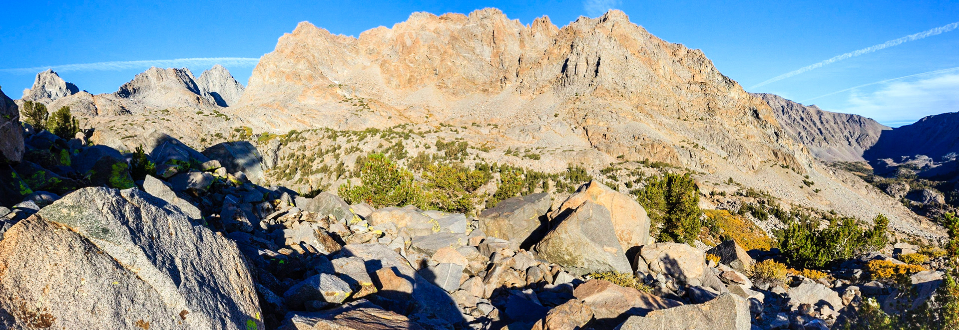
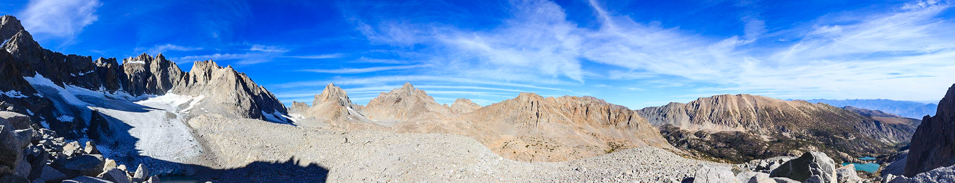
Panorama above Sam Mack Meadow. Mount Robinson to the far left with the Upper Lakes Basin, Sky Haven, and Cloudripper to the far right.
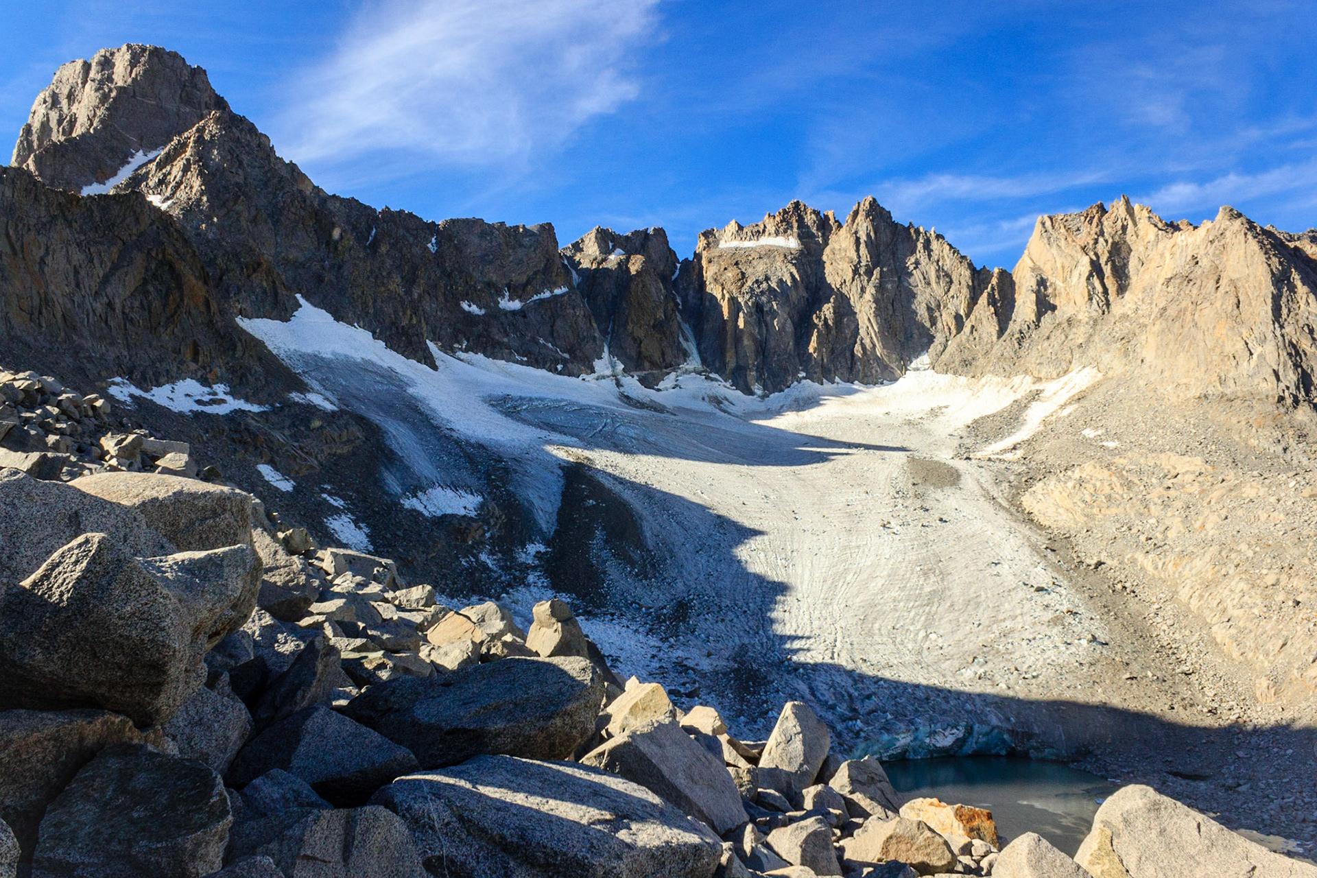
Palisade Glacier. Proglacial lake at the bottom of the picture. Mount Sill on the left and North Palisade in the center of the picture.
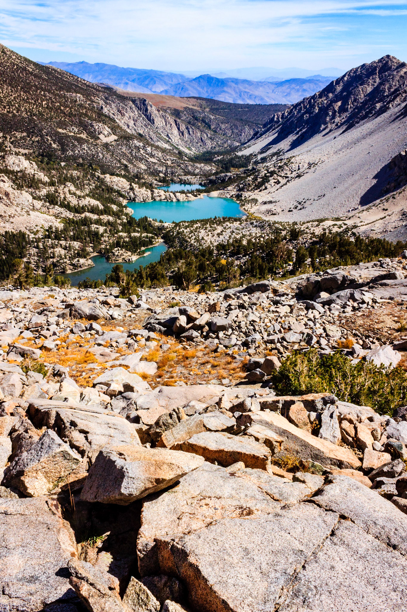
View of First, Second, and Third Lakes (top to bottom) from the talus field below Palisade Glacier.
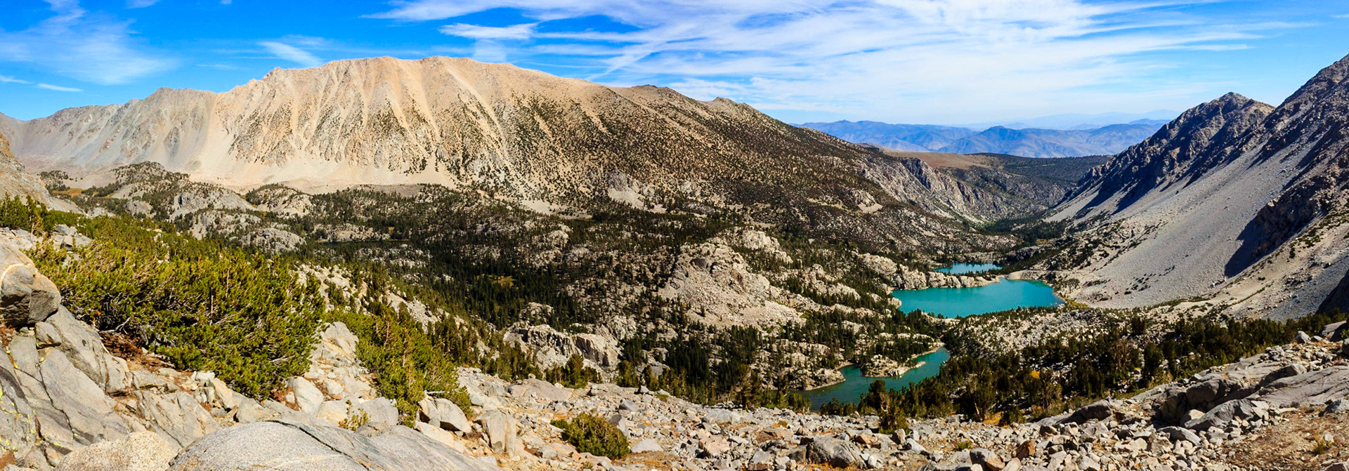
Panorama across the entire Big Pine Lakes Basin.
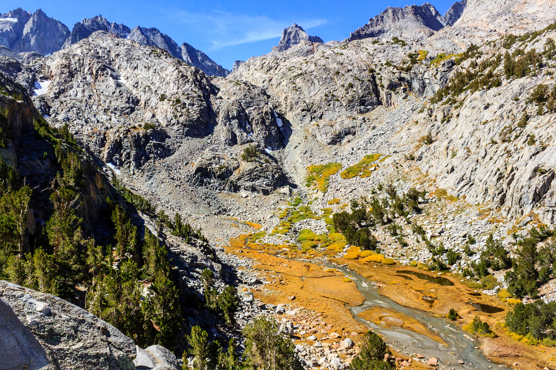
The rear of Sam Mack Meadow. The stream comes from a cascade down the rocks in the center of the picture.
Stream flowing towards the outlet of Sam Mack Meadow where it will cascade down towards the lakes.
View of Sam Mack Meadow of the trail climbing out of it.
180 Degree panorama from the top of the glaical moraine. From left to right: Mount Sill, North Palisade, Mount Winchell, Mount Agassiz, Aperture Peak, Mount Robinson, Sky Haven, Big Pine Lakes, and the backside of Mount Gayley.
2016
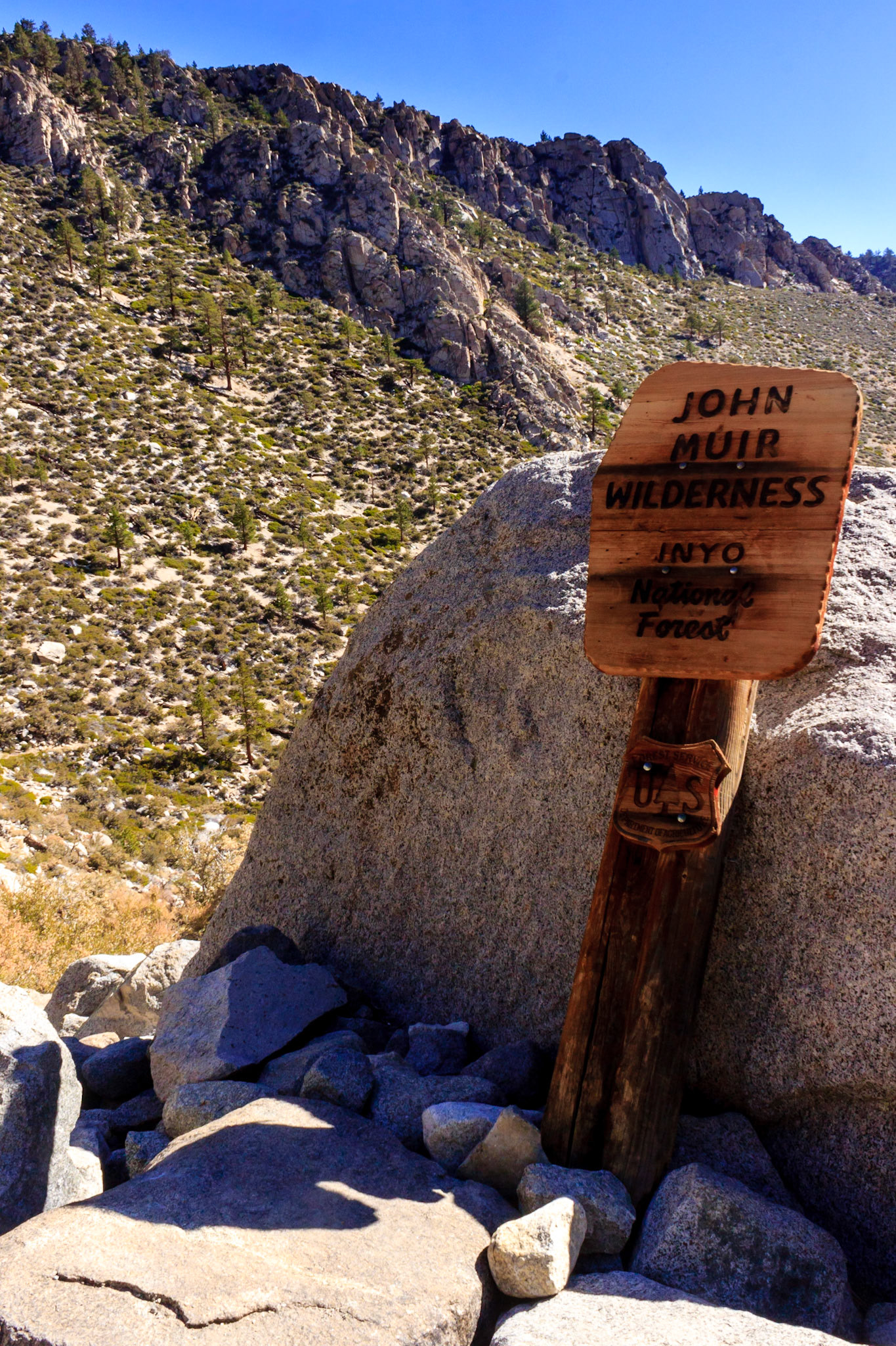
Entering John Muir Wilderness
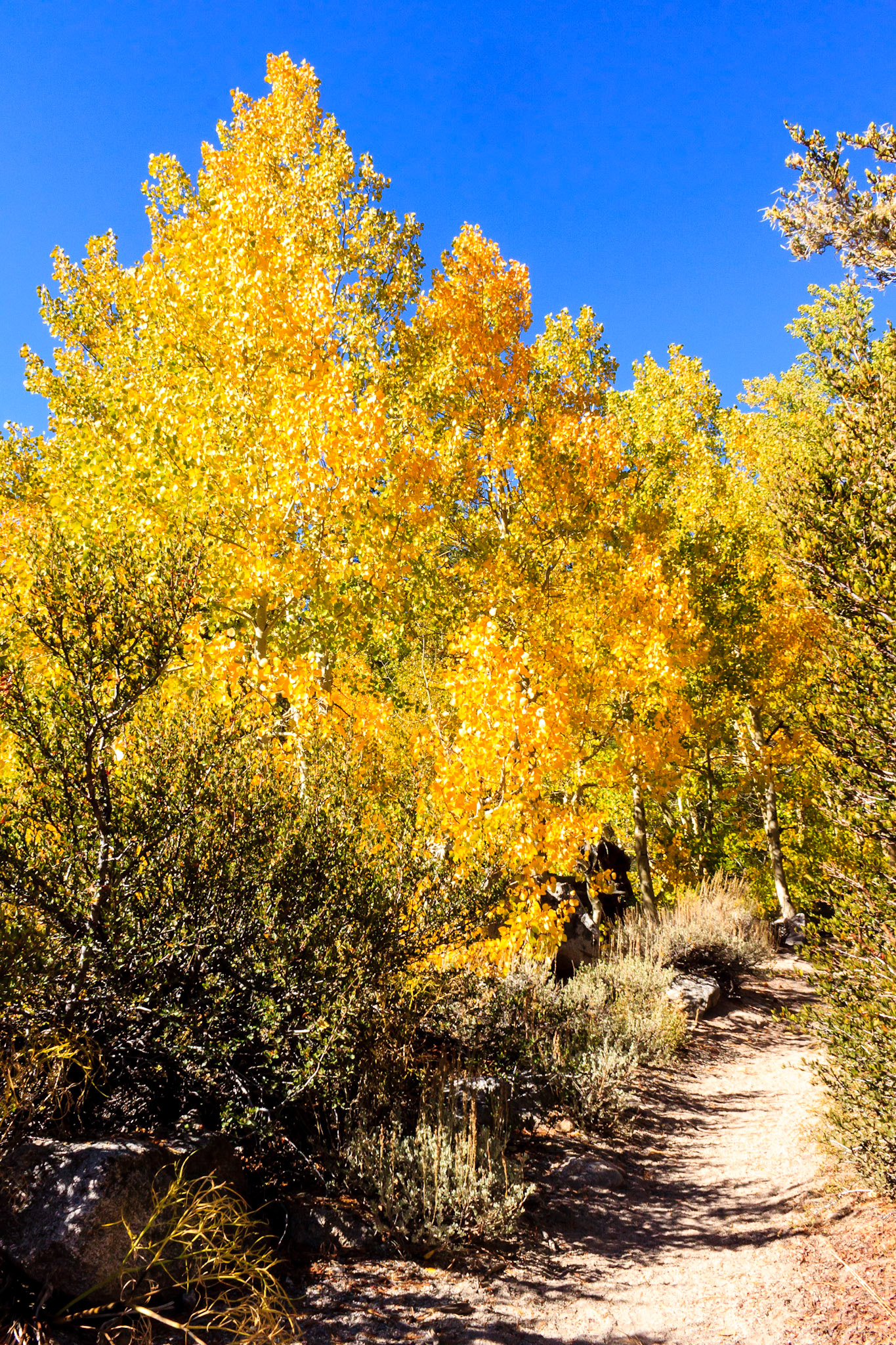
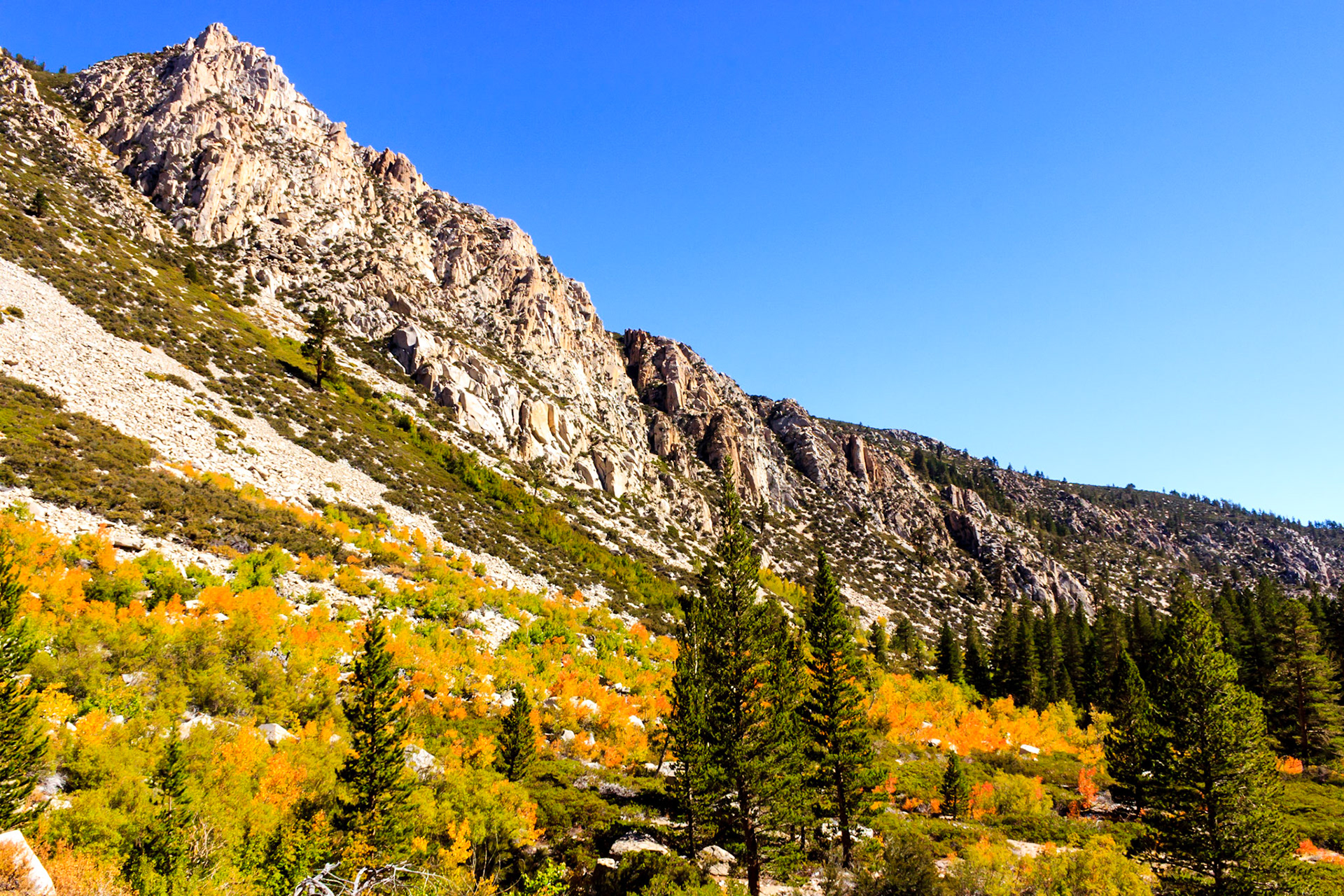
Aspens in the Fall
Temple Crag
First Lake